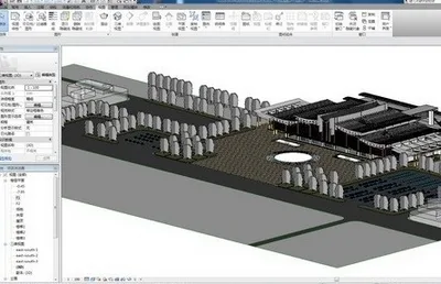
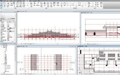
In the station design phase, the team utilized Autodesk Revit series software, grounded in the BIM (Building Information Modeling) concept. Traditionally, designers from various disciplines communicate using two-dimensional plans, which are neither intuitive nor conducive to effective coordination. Even minor clashes between disciplines during design can lead to substantial additional costs during construction.
For this project, designers leveraged Autodesk Revit’s workset and link management features to integrate multiple professional Revit models and perform clash detection. In one station design, they identified five clashes between pipeline systems and structural components. These findings allowed designers to revise the pipeline layout to prevent errors before construction commenced, while also offering the project owner a clearer, more intuitive visualization of the final design.
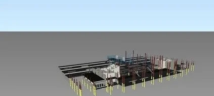
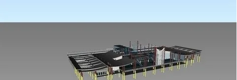
Once the design was finalized, the complete station model was imported into Autodesk NavisWorks for 4D construction simulation. This enabled the construction project manager and the owner to gain a better understanding of the construction sequence and effectively monitor progress.
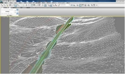
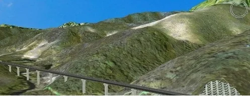
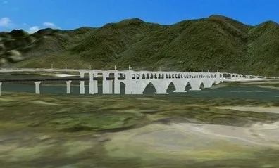
Regarding visualization and communication, the designers imported the 3D railway subgrade model and terrain, created in AutoCAD Civil 3D, into Autodesk 3ds Max Design via AutoCAD Civil View. This integration provided a clear visual representation of the railway track routes, facilitating solution discussions.
Previously, all modeling had to be done directly in Autodesk 3ds Max, where creating stepped slopes and retaining walls with varying heights was time-consuming and labor-intensive, and resulted in models with low accuracy, mainly for illustrative purposes. Now, accurate 3D models from AutoCAD Civil 3D can be seamlessly imported into Autodesk 3ds Max Design, maintaining synchronized updates between the two. This approach not only offers a true reflection of the project but also saves time on repetitive modeling tasks, allowing multimedia producers to concentrate on post-production rendering and animation rather than on modeling.
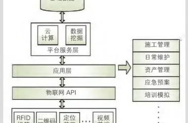
Additionally, once the project is completed, the multimedia team imports roadbed, bridge, and station data generated by Autodesk software into a proprietary visualization system. This system integrates basic surveying and geological data to present and report the entire project line, along with corresponding design data management.
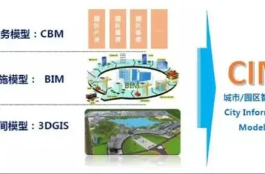
Thanks to the application of BIM technology, design data from every stage of the project has been efficiently transmitted and preserved, providing valuable information for subsequent construction phases and ongoing operation and maintenance.


Must log in before commenting!
Sign Up