BIM Software Tip: Understanding the Differences Between Measurement Points, Project Base Points, and Graphic Origin Points in Revit
When working in Revit, one of the most critical elements to focus on is the project base point, as it plays a key role in positioning your project accurately. But do you know how the measurement point, project base point, and graphic origin differ and what functions each serves?
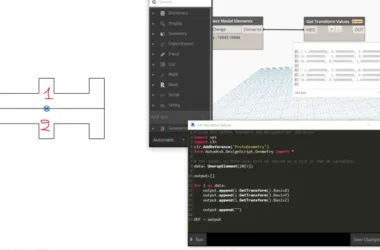
1. Measurement Point: This is the reference coordinate origin used for actual measurement and positioning of the project within the world coordinate system. It typically requires coordination with the overall general drawing to obtain accurate coordinate values.
2. Project Base Point: This serves as the relative reference coordinate origin for measuring and positioning the project within the user coordinate system. Its position should be determined based on the specific characteristics of the project. Moving the project base point changes the project’s location, and its link status can be toggled on or off. Usually, the project base point is set at the intersection of two grids in the lower-left corner. When linking models, the link should be established from origin to origin.
3. Graphic Origin: By default, when you create a new project file, the measurement point and project base point coincide at the same location, which is the graphic origin. This point does not have any visible markers.
Note: When the project base point, measurement point, and graphic origin are no longer aligned, you can measure three distinct values using the elevation point coordinates. To identify which point you are measuring relative to, change the measurement point setting in the elevation point’s type properties.


Must log in before commenting!
Sign Up