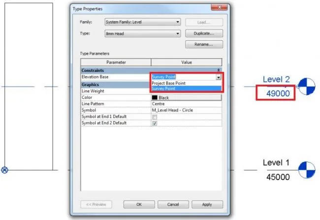
First, display and adjust the Absolute Elevation. For example, a level 0.000 relative to an absolute elevation of 45.000 is commonly used data in Beijing.
Next, two methods can be used to share the coordinate system: “Acquire Coordinates” and “Publish Coordinates”. Both methods are quite similar:
- Acquire Coordinates: Open the individual model, link the overall model, adjust the overall model to the correct location, then click to acquire coordinates. This method obtains the correct position of the individual model within the overall plan.
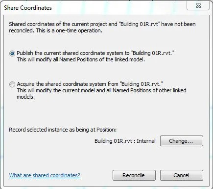
- Publish Coordinates: Open the overall plan, link the individual model, adjust the position of the individual model, then publish coordinates and save. This publishes the correct location from the overall plan to the individual model.
Based on your scenario, we recommend using the Publish Coordinates method as described in 2.2.
To begin, open the overall layout model and import the individual units using the Center to Center option.
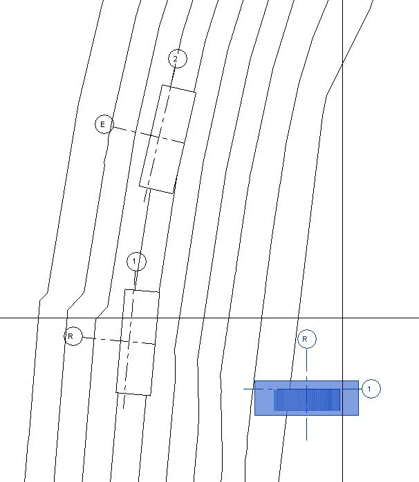
Then, find the correct position along the X, Y, and Z axes.
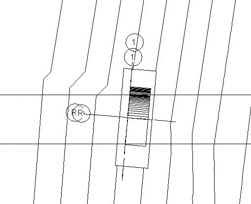
After that, publish the defined coordinates and save the model.
You can apply the same method to the other individual buildings to complete the task successfully.
BIM Technique – Revit modeling where the absolute elevation of ± 0.000 differs among multiple individual buildings on the same site: how to model separately and then link them?


Must log in before commenting!
Sign Up